Two hikers lost in Kosciuszko National Park have been found by a drone powered by artificial intelligence, in what Fire and Rescue NSW (FRNSW) is calling a first-of-its-kind mission.
The men, both in their early 20s, were reported missing at 7pm on Tuesday while hiking the Dead Horse Gap walking track, 35 kilometres south-west of Jindabyne.
Fire and Rescue members from the Jindabyne Fire Station were called to assist the search and launched a remote-controlled drone powered by AI detection software.
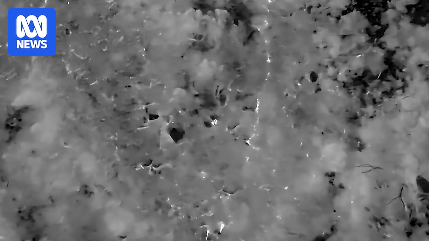
The drone’s thermal camera and AI system detected the hikers about 500 metres off the walking track. (Supplied: Fire and Rescue NSW)
The Remote Air Piloted System used thermal imaging to identify the hikers in the park and pinpoint their exact location, finding they had veered about 500 meters off the track.
Police and State Emergency Service volunteers were able to contact the hikers using the drone’s built-in speaker and send rescuers to guide them out of the park, less than five hours after they were reported missing.
They suffered mild effects of exposure but declined medical treatment at the scene.
First-of-its-kind mission
It was the first time the drone’s AI detection system had been successfully used by FRNSW to rescue a missing hiker.
FRNSW Inspector and regional duty commander for the NSW Alpine area, Phillip Eberle, said the technology probably reduced the search by several days.
“It’s definitely helped make what could have been a long-term incident into a very short-term incident,”
Inspector Eberle said.
“There’s every chance in the world we could have still been out there.”
FRNSW Aviation Unit team leader and chief remote pilot, Inspector Russell Turner, said the drones were part of a statewide technology upgrade introduced over the past 18 months.
Inspector Russell Turner flies the AI-powered drone. (Supplied: Fire and Rescue NSW)
The drones carry four cameras, including infrared cameras, allowing its AI software to analyse thousands of images in real time.
Inspector Turner said the system could identify humans, vehicles and animals, while also recognising other moving heat sources.
“When the machine determines that it thinks it’s a person or a vehicle or a vessel, it will ping and put a display on exactly where it thinks that person is,” he said.
The drones also feature augmented reality mapping, allowing crews to instantly display fire trails, bush tracks and roads on screen during a search operation.
The drone has four cameras, allowing its AI software to analyse thousands of images in real time. (Supplied: Fire and Rescue NSW)
He said the system could help monitor conditions in other emergencies, like the number of dead fish in a creek impacted by a chemical spill.
Less lives at risk
Inspector Eberle said the new technology meant rescuers in the Snowy Mountains could spend less time in risky situations.
“It means less time on the mountain and less time looking for people, and reduced risk so that the volunteers can get home to their families quicker,”
he said.
He said he hoped to see the technology advance to be able to drop off overnight care packages to people while they waited for assistance.
“We can save putting rescuers at risk overnight and drop a rescue pack to people so they’re OK overnight, and be there first thing in the morning when it’s safer for everyone,” he said.