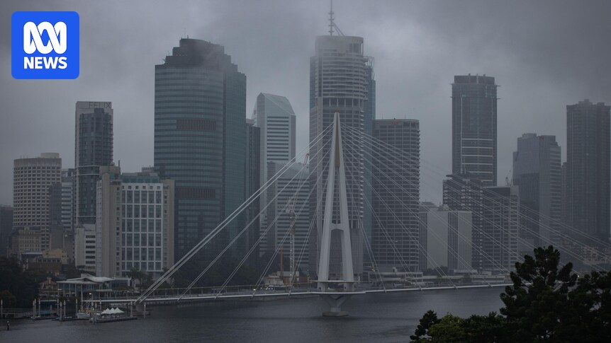
Temperatures will start to warm up across Queensland from today, after a brisk few days, with a burst of rain expected to last through the weekend.
Frosts this week across the Darling Downs, Granite Belt and Carnarvon Ranges had Queenslanders shivering through the early mornings.
Harry Clark, senior meteorologist at the Bureau of Meteorology (BOM), said Queenslanders would “start seeing some showers build along the east coast during Thursday”.
Mr Clark said the rain would be mostly isolated to scattered activity near the coast but nothing too heavy.
Brisbane and the south-east can expect light afternoon showers from today into the weekend, which are not expected to bring more than 10 millimetres. Sunday is forecast to be the wettest day.
The Cassowary Coast in Far North Queensland can expect a bit more in the rain gauge — with daily falls of 20-30mm forecast.
South-west Queensland may see thunderstorms building through Friday and Saturday.
“Places such as Thargomindah, Quilpie, out towards the Maranoa, Warrego [… can expect] falls of up to 30 mm,”
Mr Clark said.
“While not expected to be severe or heavy, [it is] still fairly notable for this time of year, given it’s the dry season.”
A thunderstorm at Caval Ridge Mine, south of Moranbah in Central Queensland. (Supplied: Sheree Klaproth)
Warm winter weather
Mr Clark said the cloudy and rainy conditions would bring warmer temperatures, so morning frosts would be off the table for the next week.
Brisbane can expect minimum temperatures of 12-13 degrees Celsius, and maximum temperatures hovering around 21-22C.
It will be cooler around Ipswich from Friday, with minimums of 9-10C and maximums similar to Brisbane.
Stanthorpe is set to be the coldest part of the state, with minimums of 7C.
“Which is much warmer than the -1C they had on Wednesday morning,” Mr Clark said.
A foggy morning at Somerset Dam, Kilcoy, this week. (Supplied: Jenny Henry)
Offshore wind warnings
For Queenslanders keen to get out on the water over the weekend, keep in mind that there are strong wind warnings in place for coastal waters in the far north.
Mr Clark said the Cairns Peninsula and Cooktown waters could expect south-easterly winds up to 55 km/h.
“It’ll still be quite fresh out on the water so take care if you’re headed out on the boat,”
Mr Clark said.
Southern boaties can expect fresh east to south-easterly winds, generally 27-37 km/h for most coastal locations.
Rain on the Cairns esplanade in June. (ABC Far North: Holly Richardson)