







Scientists have uncovered a hidden geological feature beneath the Pacific Ocean that helps explain why Japan’s devastating 2011 Tōhoku earthquake and tsunami became one of the deadliest natural disasters in modern history. According to a new study, a thin layer of exceptionally weak, clay-rich sediment beneath the Japan Trench allowed the earthquake rupture to travel all the way to the seafloor, triggering an unusually large vertical displacement that amplified the tsunami.Published in the journal Science, the research suggests that this slippery clay layer acted like a natural weak point, enabling the magnitude 9.1 megathrust earthquake to shift the seafloor by an estimated 130 to 200 feet (40–60 meters) in just a few minutes. That sudden movement displaced enormous volumes of seawater, producing tsunami waves that devastated northeastern Japan and claimed nearly 20,000 lives.
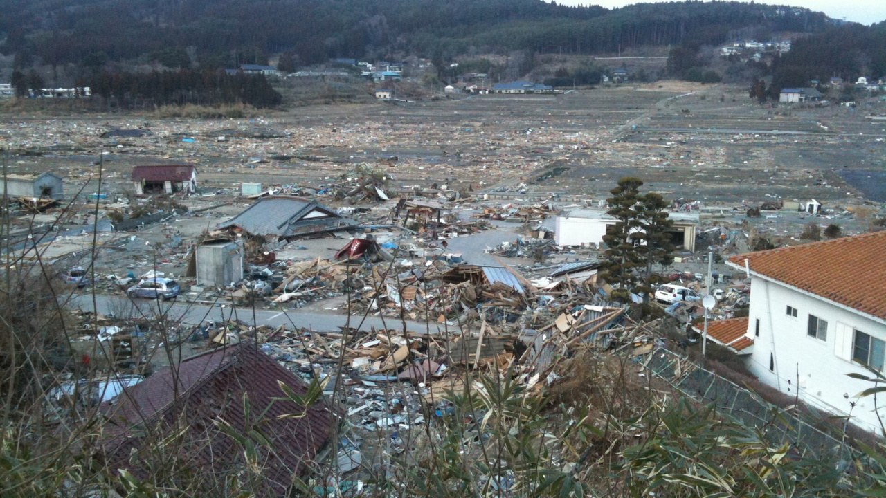
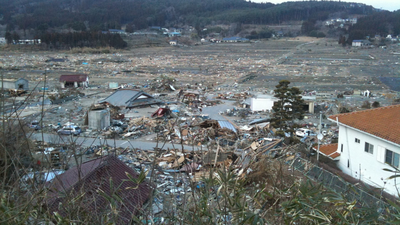
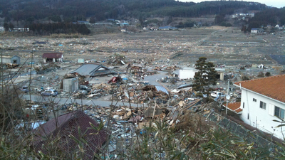
The city of Rikuzentakata, Iwate Prefecture, suffered extensive damage from the tsunami, with almost the entirety of the lower area of the city being destroyed | Wikimedia Commons
A hidden clay layer beneath the Japan TrenchTo understand why the 2011 rupture behaved so differently from most major earthquakes, researchers drilled deep beneath the Pacific Ocean aboard the scientific drilling vessel Chikyū, recovering rock and sediment samples from the fault zone. Their expedition reached nearly 8,000 meters (about 26,000 feet) below sea level, making it the deepest scientific ocean drilling project ever completed.Analysis of the samples revealed an approximately 30-meter-thick (100-foot) layer of pelagic clay, an extremely soft sediment that accumulated over millions of years from microscopic particles settling on the ocean floor. Sandwiched between much stronger rock layers, this clay created a remarkably weak surface that allowed the fault rupture to remain concentrated and propagate all the way to the trench instead of stopping deeper underground.Why the discovery mattersMost megathrust earthquakes begin much deeper beneath Earth’s surface, and their ruptures typically lose strength before reaching the seafloor. In contrast, the 2011 Tōhoku earthquake ruptured unusually close to the ocean bottom, producing one of the largest seafloor displacements ever recorded.Researchers believe the newly identified clay layer may explain why the tsunami was far larger than many existing models predicted. Because similar weak sediment layers may exist in other subduction zones around the world, identifying them could help scientists better assess which regions are capable of generating the most destructive tsunamis. The findings also have implications far beyond Japan, since tsunami waves generated along the Japan Trench can travel thousands of kilometers across the Pacific Ocean, affecting coastlines in places such as Hawaii and North America within hours.
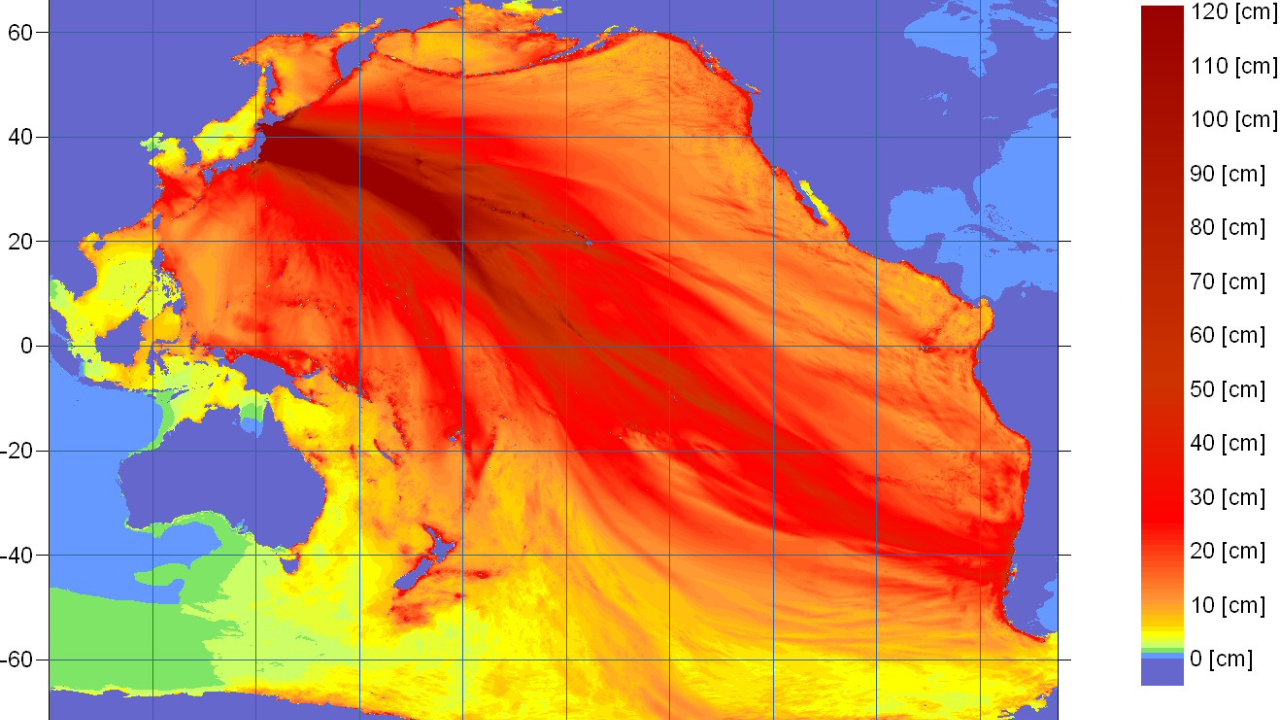
NOAA tsunami energy map | Wikimedia Commons
Improving future tsunami forecastsThe researchers say understanding the geological structure of subduction zones could improve tsunami hazard models and help emergency planners better prepare coastal communities for future disasters.While no scientific model can predict exactly when a major earthquake will strike, identifying faults capable of rupturing all the way to the seafloor may improve estimates of tsunami size and inundation. The team hopes these findings will ultimately support stronger building codes, more accurate hazard maps, and improved evacuation planning in tsunami-prone regions. As scientists continue studying similar fault systems worldwide, the discovery highlights how seemingly thin geological layers hidden beneath the ocean floor can dramatically influence the scale of some of Earth’s most powerful natural disasters.